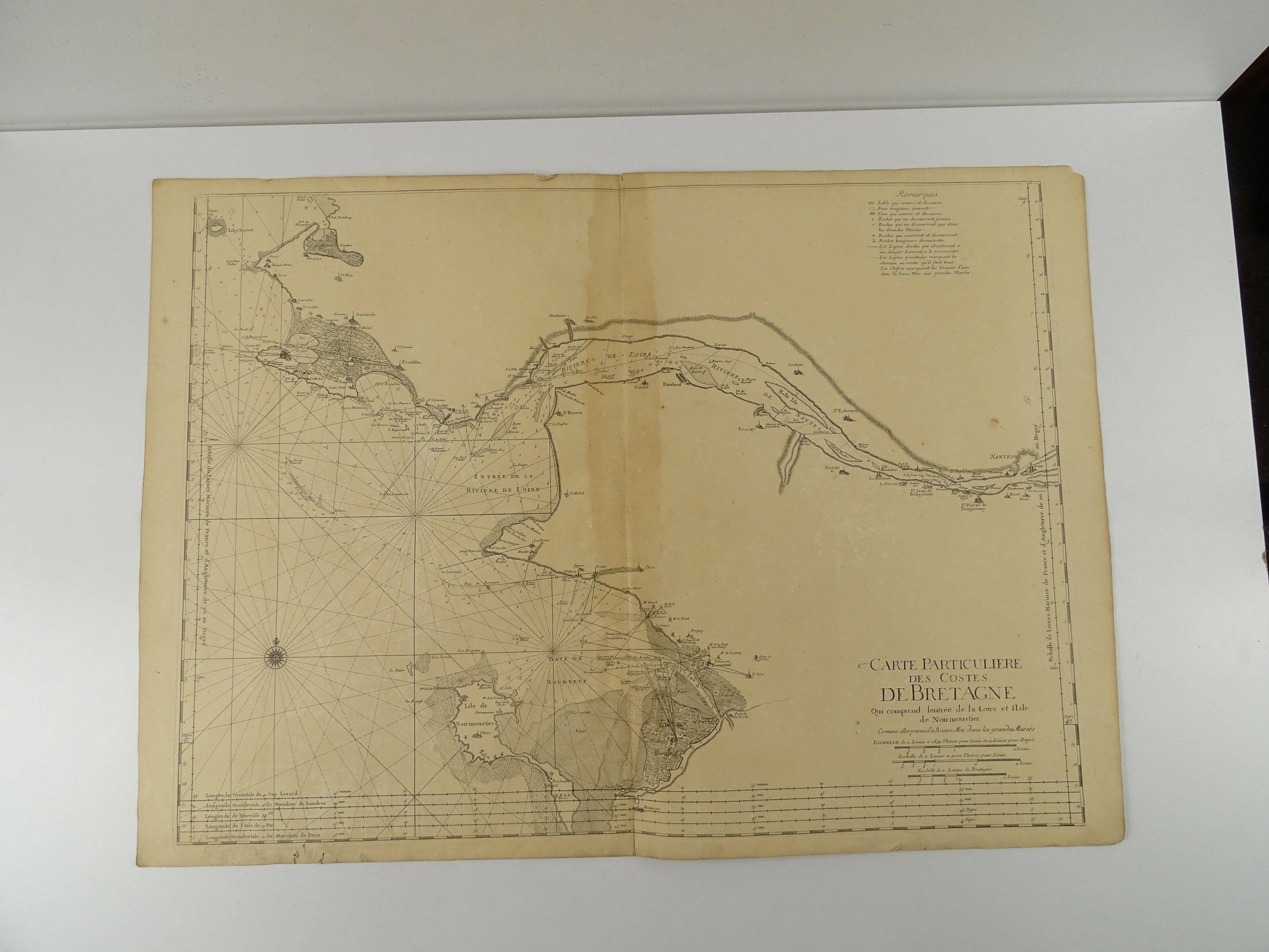
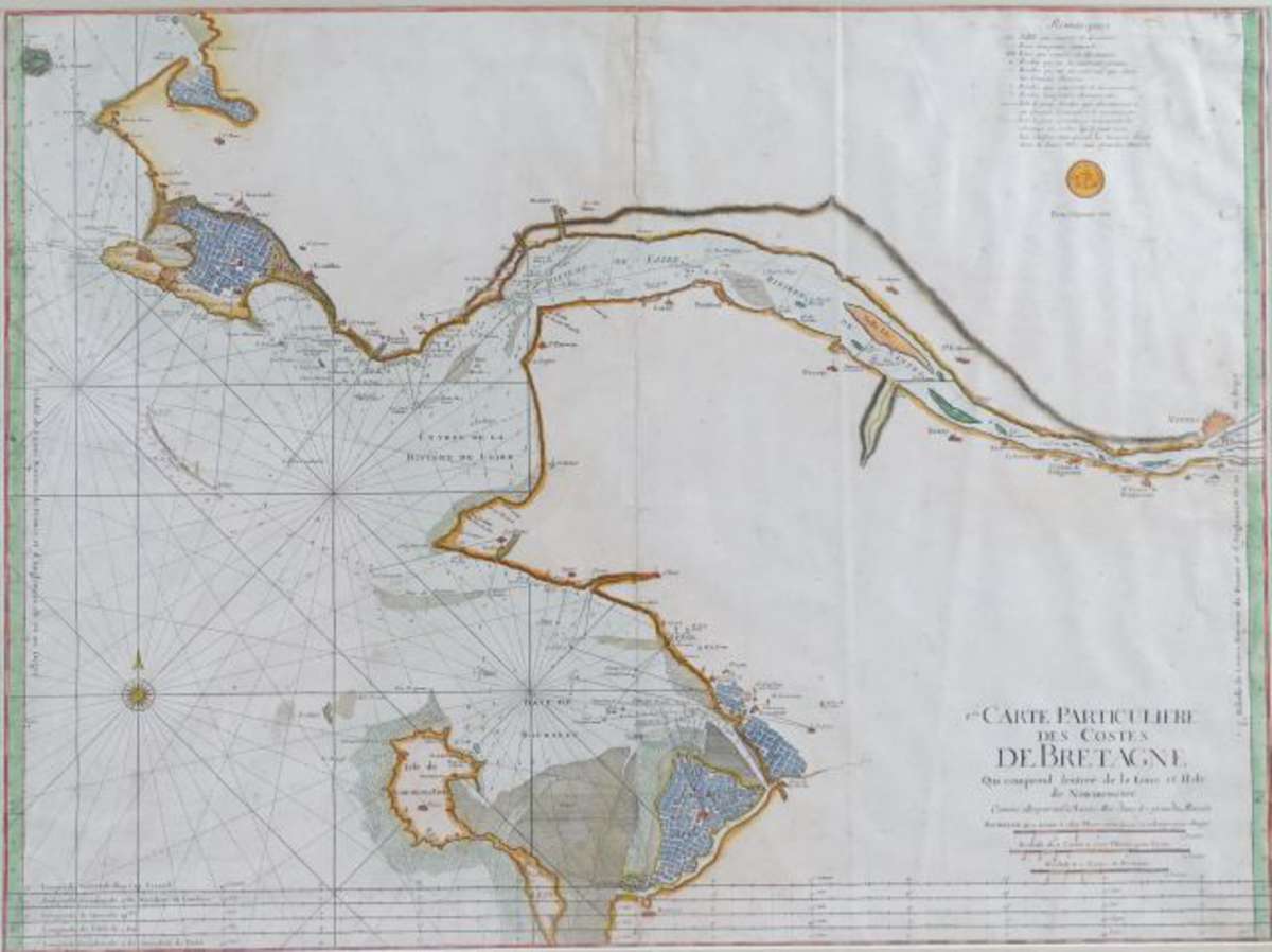
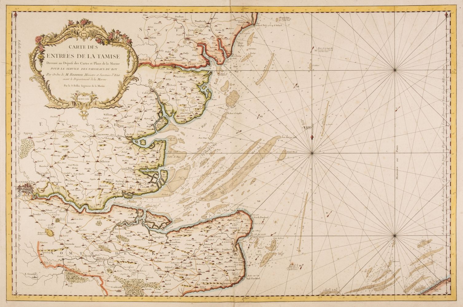
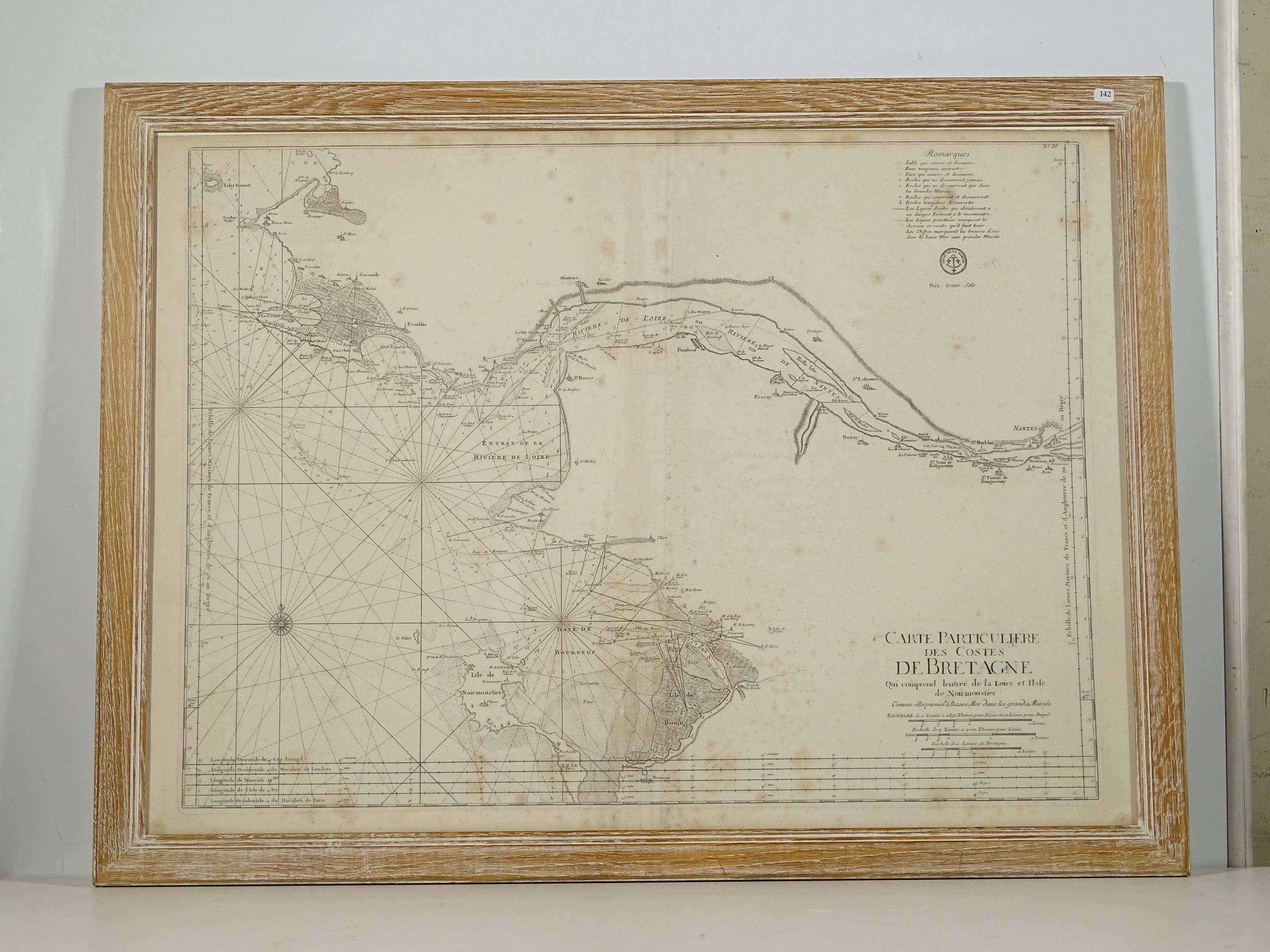
BELLIN, Jacques-Nicolas-(1703-1772). Carte Reduite Du Golphe Du Mexique Et Des Isles De L'Amerique Pour servir au Vaisseaux du Roy ... Année 1749 . Paris: Bellin, Ingenieur de la Marine, Rue Dauphine prés la Rue Christine, 1749. First state of Bellin's fine chart of Florida, the Gulf Coast, Caribbean and Central America. It is an important map because Bellin abandons the idea of Florida as an archipelago, although now Bellin depicts the Floridian peninsula with a very unusual, almost trapezoidal, shape. Bellin relied on the work of Valentin Devin and other French mapmakers for the depiction of the Gulf Coast, and the chart is very detailed, with numerous toponyms, soundings and directions of currents. The present example is coloured by a contemporary hand showing colonial possessions, and is in the first state, without the addition of the Depot de la Marine stamp and the the price of Trente Sols. Engraved map on 2 joined sheets, coloured by a contemporary hand, verso blank, large title cartouche and key within rococo frame, grid lines of latitude and longitude, together with intersecting rhumb lines, 552 x 850mm (plate mark), 630 x 915mm (sheet).
BELLIN, Jacques-Nicolas-(1703-1772). Carte Reduite Du Golphe Du Mexique Et Des Isles De L'Amerique Pour servir au Vaisseaux du Roy ... Année 1749 . Paris: Bellin, Ingenieur de la Marine, Rue Dauphine prés la Rue Christine, 1749. First state of Bellin's fine chart of Florida, the Gulf Coast, Caribbean and Central America. It is an important map because Bellin abandons the idea of Florida as an archipelago, although now Bellin depicts the Floridian peninsula with a very unusual, almost trapezoidal, shape. Bellin relied on the work of Valentin Devin and other French mapmakers for the depiction of the Gulf Coast, and the chart is very detailed, with numerous toponyms, soundings and directions of currents. The present example is coloured by a contemporary hand showing colonial possessions, and is in the first state, without the addition of the Depot de la Marine stamp and the the price of Trente Sols. Engraved map on 2 joined sheets, coloured by a contemporary hand, verso blank, large title cartouche and key within rococo frame, grid lines of latitude and longitude, together with intersecting rhumb lines, 552 x 850mm (plate mark), 630 x 915mm (sheet).


Try LotSearch and its premium features for 7 days - without any costs!
Be notified automatically about new items in upcoming auctions.
Create an alert