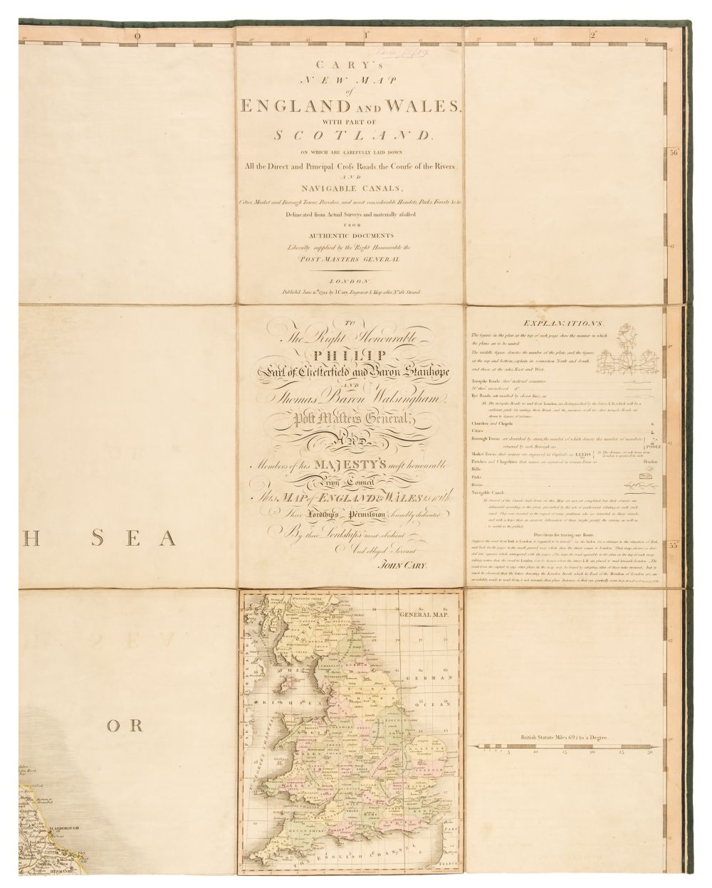
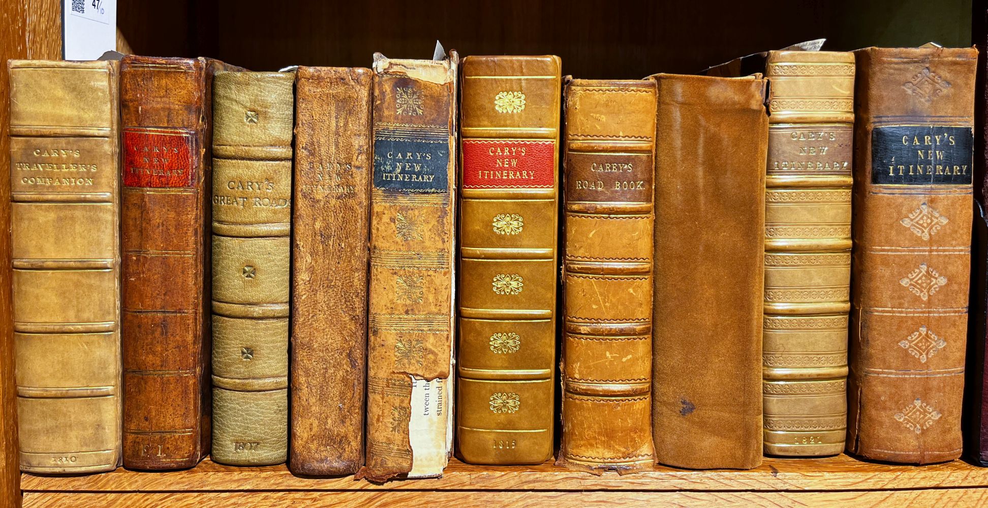
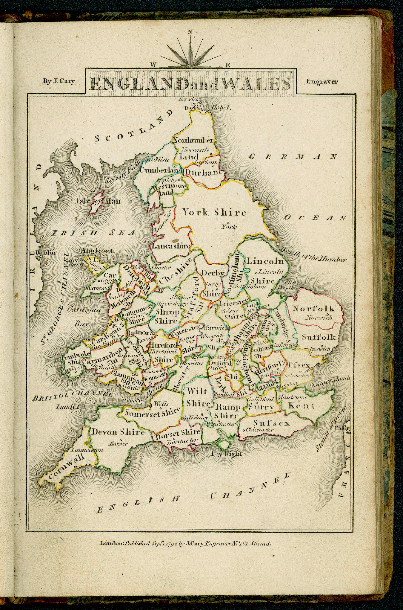
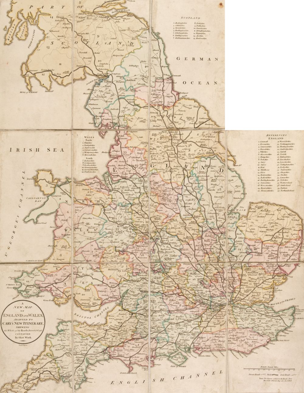
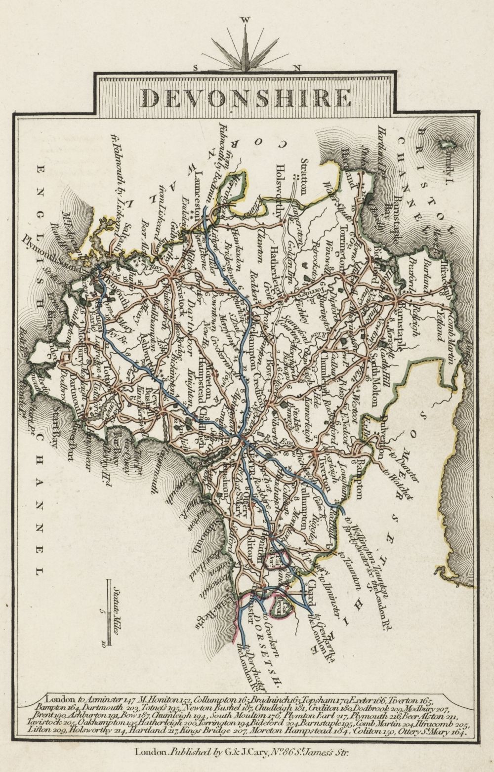
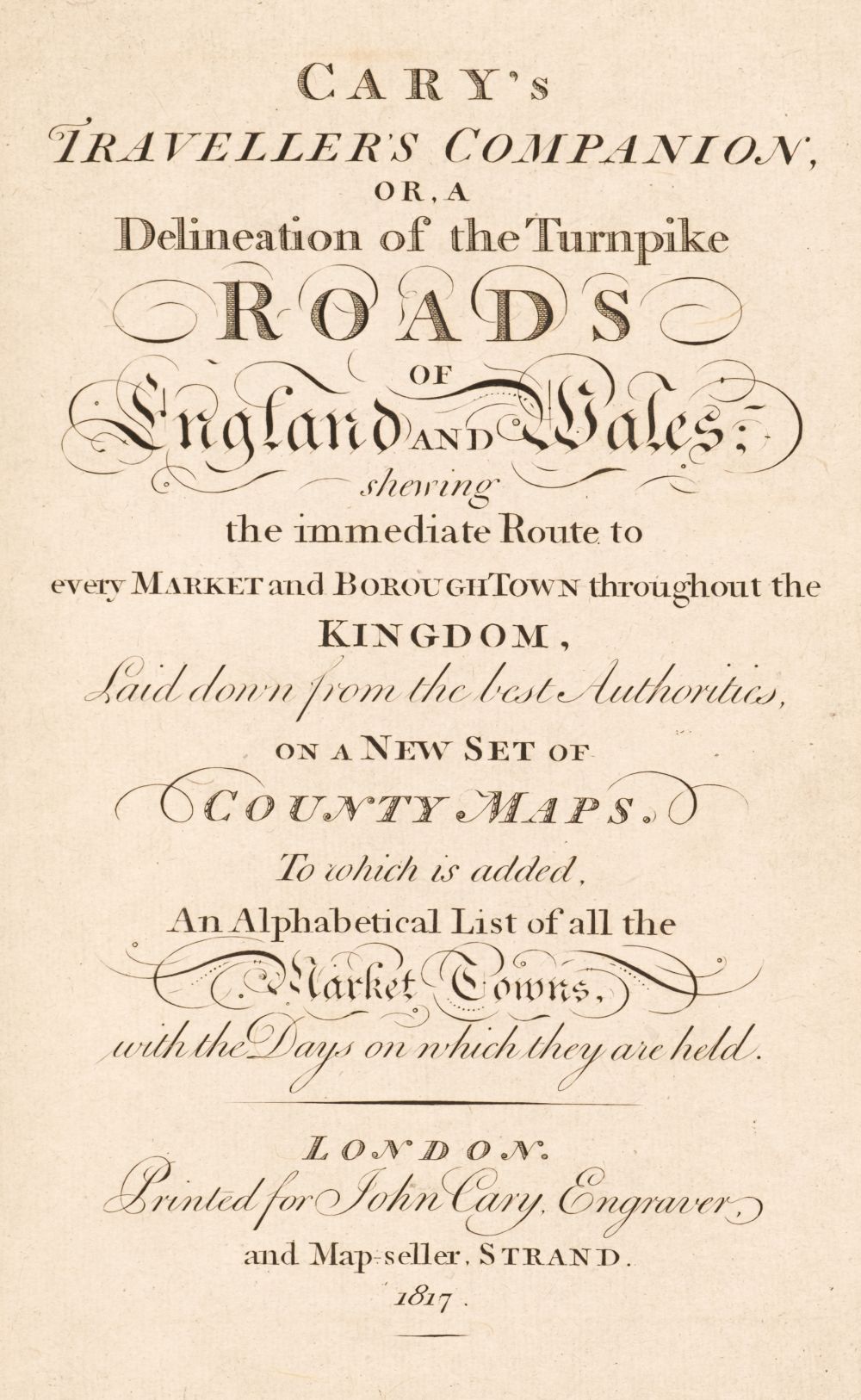
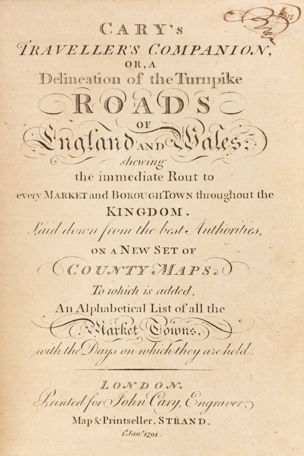
Cary (John). Cary's Traveller's Companion or a Delineation of the Turnpike Roads of England and Wales; shewing the immediate Route to every Market and Borough Town throughout the Kingdom..., 1817, calligraphic title, advertisement and contents leaf, 43 (complete) engraved maps with contemporary outline colouring (complete), including folding map of Yorkshire (Yorkshire with long closed tear), index of market towns bound at rear, bound with Cary's New Itinerary: or an Accurate Delineation of the Great Roads, Both Direct and Cross throughout England and Wales: with many of the Principal Roads in Scotland..., J. Cary, 1817, calligraphic title and dedication, folding engraved map of England and Wales with long closed tear, six engraved folding regional maps with contemporary outline colouring, further tables and indices, endpapers with later pencil annotations and notes, contemporary 'envelope style' black morocco binding, 8vo, together with Cary's New Map of England and Wales with part of Scotland. with Part of Scotland, on which are carefully laid down all the Direct and Principal Cross Roads, the Course of the Rivers and the Navigable Canals, Cities, Market and Borough Towns, Parishes and most considerable Hamlets, Parks, Forests &c &c, 1st edition, June 11th 1794, title and dedication, general map of England & Wales and table of explanation, and 76 (complete) engraved map sheets (numbered 1 - 81 and omitting 62/63, 71/72 & 80 as intended), all with contemporary outline colouring, index bound at rear, some offsetting, text block cracked and partially split, contemporary sheep in an 'envelope style' heavily worn and frayed, 4to, with Fordham (Sir Herbert George). John Cary. Engraver, Map, Chart, Print-Seller and Globe Maker 1754 to 1835, Wm. Dawson & Sons Ltd, 1976, additional half-title, publisher's gilt cloth, 8vo, plus Barber (Peter, editor). The Map Book, Weidenfeld & Nicholson, 2005, additional decorative half-title, numerous colour plates throughout, publisher's gilt cloth, dust jacket torn with slight loss to the spine, folio (Quantity: 4)
Cary (John). Cary's Traveller's Companion or a Delineation of the Turnpike Roads of England and Wales; shewing the immediate Route to every Market and Borough Town throughout the Kingdom..., 1817, calligraphic title, advertisement and contents leaf, 43 (complete) engraved maps with contemporary outline colouring (complete), including folding map of Yorkshire (Yorkshire with long closed tear), index of market towns bound at rear, bound with Cary's New Itinerary: or an Accurate Delineation of the Great Roads, Both Direct and Cross throughout England and Wales: with many of the Principal Roads in Scotland..., J. Cary, 1817, calligraphic title and dedication, folding engraved map of England and Wales with long closed tear, six engraved folding regional maps with contemporary outline colouring, further tables and indices, endpapers with later pencil annotations and notes, contemporary 'envelope style' black morocco binding, 8vo, together with Cary's New Map of England and Wales with part of Scotland. with Part of Scotland, on which are carefully laid down all the Direct and Principal Cross Roads, the Course of the Rivers and the Navigable Canals, Cities, Market and Borough Towns, Parishes and most considerable Hamlets, Parks, Forests &c &c, 1st edition, June 11th 1794, title and dedication, general map of England & Wales and table of explanation, and 76 (complete) engraved map sheets (numbered 1 - 81 and omitting 62/63, 71/72 & 80 as intended), all with contemporary outline colouring, index bound at rear, some offsetting, text block cracked and partially split, contemporary sheep in an 'envelope style' heavily worn and frayed, 4to, with Fordham (Sir Herbert George). John Cary. Engraver, Map, Chart, Print-Seller and Globe Maker 1754 to 1835, Wm. Dawson & Sons Ltd, 1976, additional half-title, publisher's gilt cloth, 8vo, plus Barber (Peter, editor). The Map Book, Weidenfeld & Nicholson, 2005, additional decorative half-title, numerous colour plates throughout, publisher's gilt cloth, dust jacket torn with slight loss to the spine, folio (Quantity: 4)





Try LotSearch and its premium features for 7 days - without any costs!
Be notified automatically about new items in upcoming auctions.
Create an alert