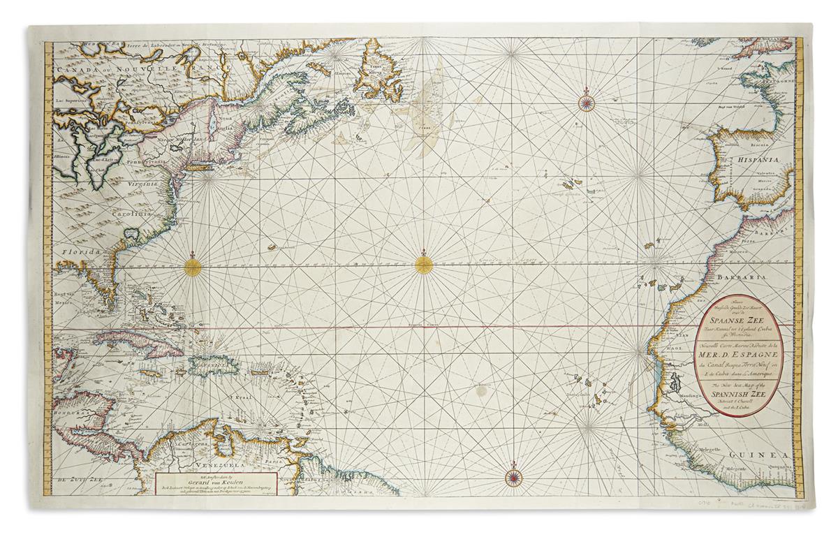
KEULEN, Gerard van (1678-1727). Carte de la Nouvelle France on se voit le cours des Grandes Rivieres de S. Laurens & de Mississippi Amsterdam, ca 1720.
KEULEN, Gerard van (1678-1727). Carte de la Nouvelle France on se voit le cours des Grandes Rivieres de S. Laurens & de Mississippi Amsterdam, ca 1720. Engraved map on two joined sheets, image 589 x 1008 mm (614 x 1018 sheet). (A few old wormholes repaired, just affecting several letters, some old reinforcements on verso.) The first issue of this rare, large-scale synthesis of current geographical information on the Spanish, French and English colonies in North America. It is a superb, elaborate piece, filled with topographical detail, place names and annotation. Van Keulen shows a broader area in more detail than contemporary maps of Delisle and De Fer. The map is seldom seen in any condition. Gerard was the son of Johannes Van Keulen by his first marriage. "He was a skillful engraver and proficient in mathematics and navigational science. Gerard was responsible for establishing the scientific basis of the firm of Van Keulen. His father had lacked the qualifications to make a personal contribution in the scientific field" (Koeman). Koeman IV Koe 320; Sellers & Van Ee 178.
.jpg?w=400?width=1600&quality=70)


Try LotSearch and its premium features for 7 days - without any costs!
Be notified automatically about new items in upcoming auctions.
Create an alert