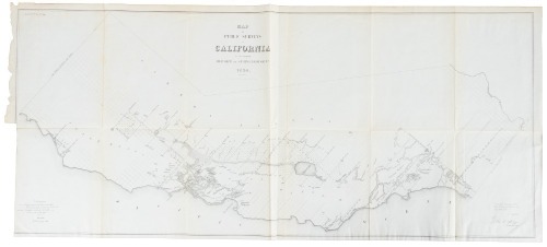
Map of Public Surveys in Colorado Territory to Accompany a Report of the Surveyor Gen. 1863 Author: Place: Washington, D.C. Publisher: General Land Office Date: 1863 Description: Lithographed map. 41.2x55.8 cm (16¼x22"). Early, uncommon map of Colorado, with no counties delineated, although the first counties were established in 1861. The surveyed areas are limited to a narrow band in the center of the map that includes Denver. The route of General Winkoop in his 1863 pursuit of the Ute Indians is noted in the western part of the territory. Mountain elevation is delineated through hachure. The map is signed in the plate by John Pince, Surveyor General. Lot Amendments Condition: Folds, some of which are darkened with neat repairs, left margin trimmed to or just over the neat in places to ease folding into a book; very good. Lots sold without reserve are sold “as Is” and are not returnable under any circumstances. The minimum shipping and handling per invoice is $20 for shipments to the US and $30 for shipments outside the US please consider this when determining your bid amount Item number: 330042
Map of Public Surveys in Colorado Territory to Accompany a Report of the Surveyor Gen. 1863 Author: Place: Washington, D.C. Publisher: General Land Office Date: 1863 Description: Lithographed map. 41.2x55.8 cm (16¼x22"). Early, uncommon map of Colorado, with no counties delineated, although the first counties were established in 1861. The surveyed areas are limited to a narrow band in the center of the map that includes Denver. The route of General Winkoop in his 1863 pursuit of the Ute Indians is noted in the western part of the territory. Mountain elevation is delineated through hachure. The map is signed in the plate by John Pince, Surveyor General. Lot Amendments Condition: Folds, some of which are darkened with neat repairs, left margin trimmed to or just over the neat in places to ease folding into a book; very good. Lots sold without reserve are sold “as Is” and are not returnable under any circumstances. The minimum shipping and handling per invoice is $20 for shipments to the US and $30 for shipments outside the US please consider this when determining your bid amount Item number: 330042


Try LotSearch and its premium features for 7 days - without any costs!
Be notified automatically about new items in upcoming auctions.
Create an alert