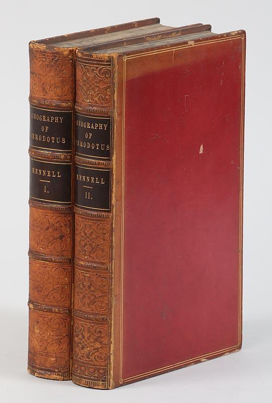
RENNELL, James.- The Geographical system of Herodotus, examined and explained, by a comparison with those of other ancient authors, and with modern geography. London, W. Bulmer and Co., 1800. In-4°: [2 incl. portrait-20]-766-[2] pp.; 11 maps (10 folding) (slightly browned, frontispice detached). Contemporary binding: brown calf, flat spine (front panel detached, spine damaged with small loss). FIRST EDITION of this work on ancient geography including maps of the Mediterranean, Near-East and Africa by the engraver of the Admiralty John Walker Particularly popular with contemporary readers. Renell (1742-1830), a military surveyor of the navy, tried to reconcile ancient geography with knowledge from modern discoveries. With 2 world maps according to Herodotus, maps of Western Scythia, Hellespont, Bosporus, Babylon, Egypt, Memphis, Libya, the circumnavigation of Africa by the Egyptians under Pharaoh Necho II (610-595 BC) and the voyage of Hanno the Navigator (500 BC). # Tooley III-33. ¶ Édition originale de ce traité de géographie ancienne par un arpenteur militaire anglais (ex. faiblement bruni). Pl. veau de l'ép. (plat sup. détaché, coiffe sup. abîmée). Drouotlive.com Read more
RENNELL, James.- The Geographical system of Herodotus, examined and explained, by a comparison with those of other ancient authors, and with modern geography. London, W. Bulmer and Co., 1800. In-4°: [2 incl. portrait-20]-766-[2] pp.; 11 maps (10 folding) (slightly browned, frontispice detached). Contemporary binding: brown calf, flat spine (front panel detached, spine damaged with small loss). FIRST EDITION of this work on ancient geography including maps of the Mediterranean, Near-East and Africa by the engraver of the Admiralty John Walker Particularly popular with contemporary readers. Renell (1742-1830), a military surveyor of the navy, tried to reconcile ancient geography with knowledge from modern discoveries. With 2 world maps according to Herodotus, maps of Western Scythia, Hellespont, Bosporus, Babylon, Egypt, Memphis, Libya, the circumnavigation of Africa by the Egyptians under Pharaoh Necho II (610-595 BC) and the voyage of Hanno the Navigator (500 BC). # Tooley III-33. ¶ Édition originale de ce traité de géographie ancienne par un arpenteur militaire anglais (ex. faiblement bruni). Pl. veau de l'ép. (plat sup. détaché, coiffe sup. abîmée). Drouotlive.com Read more


/96355/Internet%20Image%201.jpg)
/67834/Internet%20Image%201.jpg)

Try LotSearch and its premium features for 7 days - without any costs!
Be notified automatically about new items in upcoming auctions.
Create an alert