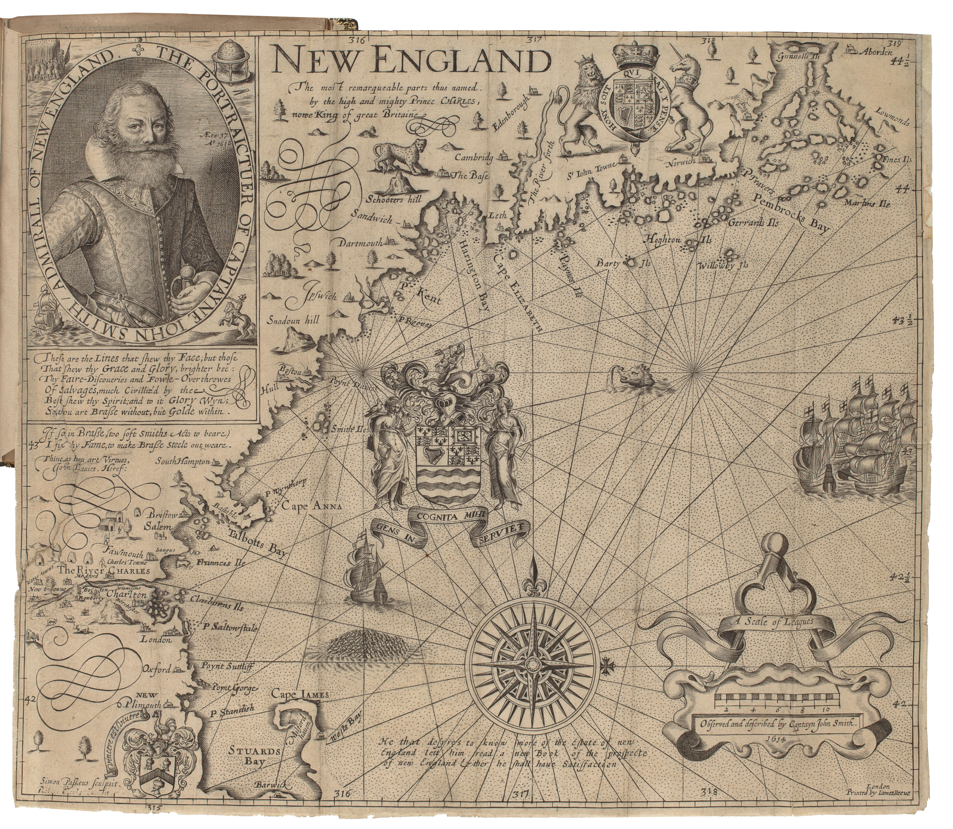
SMITH, John (1580-1631). New England. The most remarqueable parts thus named, by the high and mighty Prince Charles, nowe King of great Britaine. London: James & Reeve, 1614 [but ca 1635].
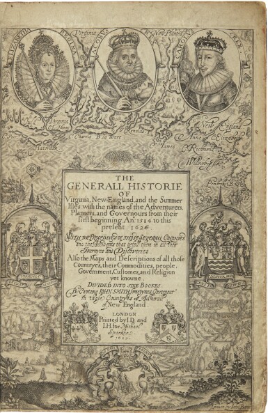
SMITH, John (1580-1631). New England. The most remarqueable parts thus named, by the high and mighty Prince Charles, nowe King of great Britaine. London: James & Reeve, 1614 [but ca 1635]. The foundation map of New England cartography, ninth state. This is the map that gave its name to the region, and was produced from surveys made by Smith in the six-week period of 1614 when he traveled the coast. Engraved map of New England, image 307 x 357 mm (318 x 375 mm sheet). Portrait, Council of New England arms at center, compass rose, galleons and sea-monster. (Short marginal tear to left margin touching image.) Matted and framed. Burden 187. The map was reprinted numerous times in the first half on the 17th-century, with nine different states recorded over a twenty-five year period. The present 9th state is the first to show the correct position for Boston and was first issued in Mercator's Historia Mundi , London, 1635. The map, engraved by Simon van de Passe, was originally published in Smith's Generall Historie of Virginia, New-England, and the Summer Isles , which played a significant role in the history of the colonization and settlement of North-America. "It covers the area from the present Penobscot Bay in Maine, to Cape Cod, Massachussetts. After a period of inactivity following his Virginian escapades, Captain John Smith was invited by four London merchants to explore the coastline of north Virginia (New England as it was then known). These men, Buley, Langham, Roydon and Skelton, financed two ships that sailed in March 1614 with instructions to return with a profitable cargo..." (Burden). Smith is credited with naming Plymouth Rock, "an excellent good harbour, good lands, and no want of anything but industrious people," proving an incentive for the Mayflower Pilgrims to relocate here after their first choice proved unwise. Burden 187, state 9; Church 369, state 9; McCorkle 614.1. Schwartz & Ehrenberg pp. 96-99; Tooley, p. 125.


.jpg)
.jpg)

.jpg)


Try LotSearch and its premium features for 7 days - without any costs!
Be notified automatically about new items in upcoming auctions.
Create an alert