Premium pages left without account:

Auction archive: Lot number 58•

ANDREWS (JOHN)

Estimate
£600 - £800
ca. US$764 - US$1,019
Price realised:
£750
ca. US$955
Auction archive: Lot number 58•

ANDREWS (JOHN)

Estimate
£600 - £800
ca. US$764 - US$1,019
Price realised:
£750
ca. US$955
Beschreibung:

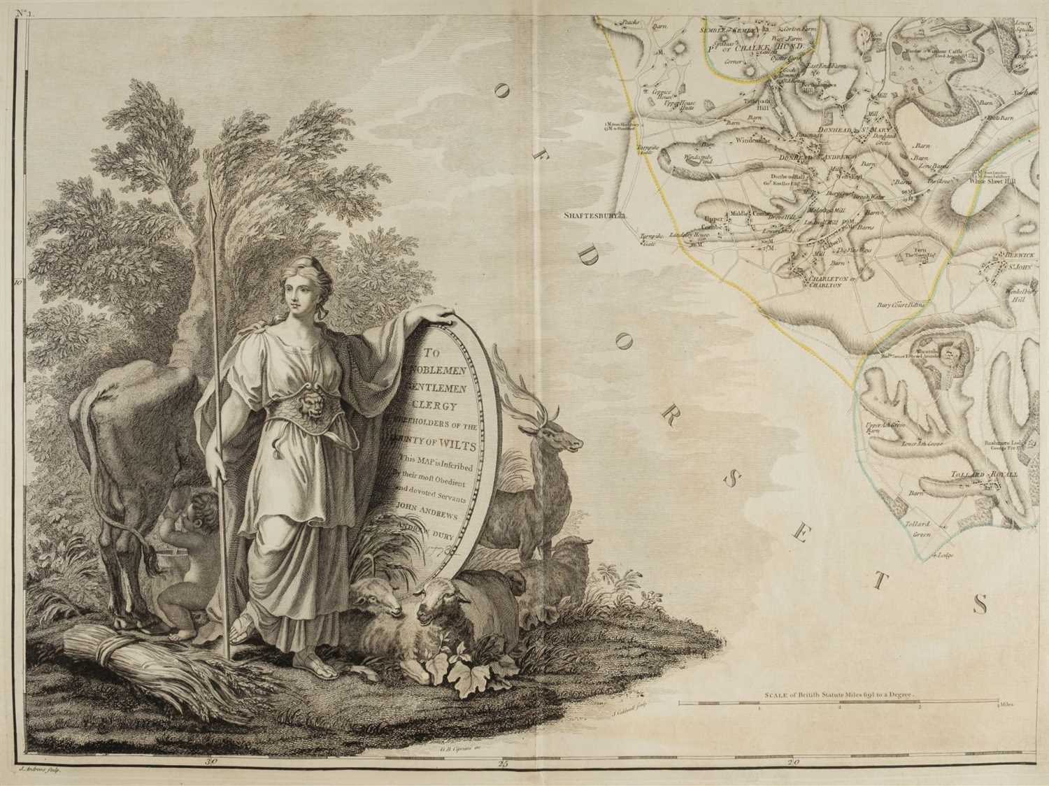
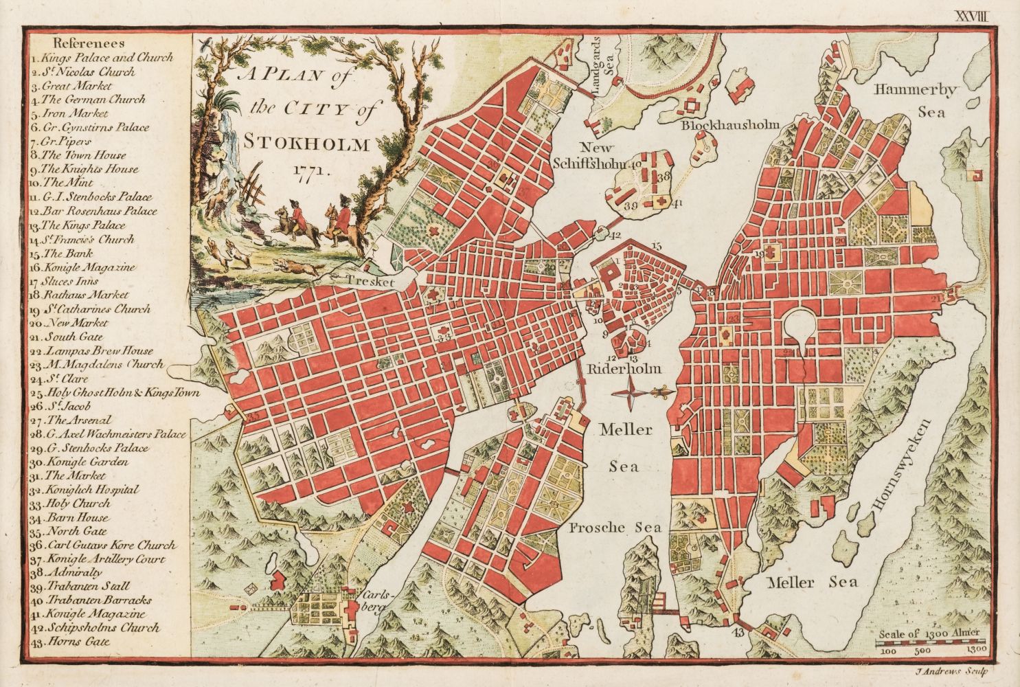
A Geographical Atlas of England, Divided According to its Natural, Political, Civil, Ecclesiastical, Ancient and Modern Divisions, to which is added a Political Chart of Europe, 19 engraved maps hand-coloured in outline (5 folding), half calf, gilt-lettered "Geographical Atlas of England" on upper cover, folio (453 x 315mm.), John Stockdale, 1809

Auction archive: Lot number 58•
Auction:
Datum:
27 Nov 2018
Auction house:
Bonhams London
London, Knightsbridge Montpelier Street Knightsbridge London SW7 1HH Tel: +44 20 7393 3900 Fax : +44 20 7393 3905 info@bonhams.com
Beschreibung:

A Geographical Atlas of England, Divided According to its Natural, Political, Civil, Ecclesiastical, Ancient and Modern Divisions, to which is added a Political Chart of Europe, 19 engraved maps hand-coloured in outline (5 folding), half calf, gilt-lettered "Geographical Atlas of England" on upper cover, folio (453 x 315mm.), John Stockdale, 1809

Auction archive: Lot number 58•
Auction:
Datum:
27 Nov 2018
Auction house:
Bonhams London
London, Knightsbridge Montpelier Street Knightsbridge London SW7 1HH Tel: +44 20 7393 3900 Fax : +44 20 7393 3905 info@bonhams.com
Try LotSearch

Try LotSearch and its premium features for 7 days - without any costs!

  • Search lots and bid
  • Price database and artist analysis
  • Alerts for your searches
Create an alert now!

Be notified automatically about new items in upcoming auctions.

Create an alert