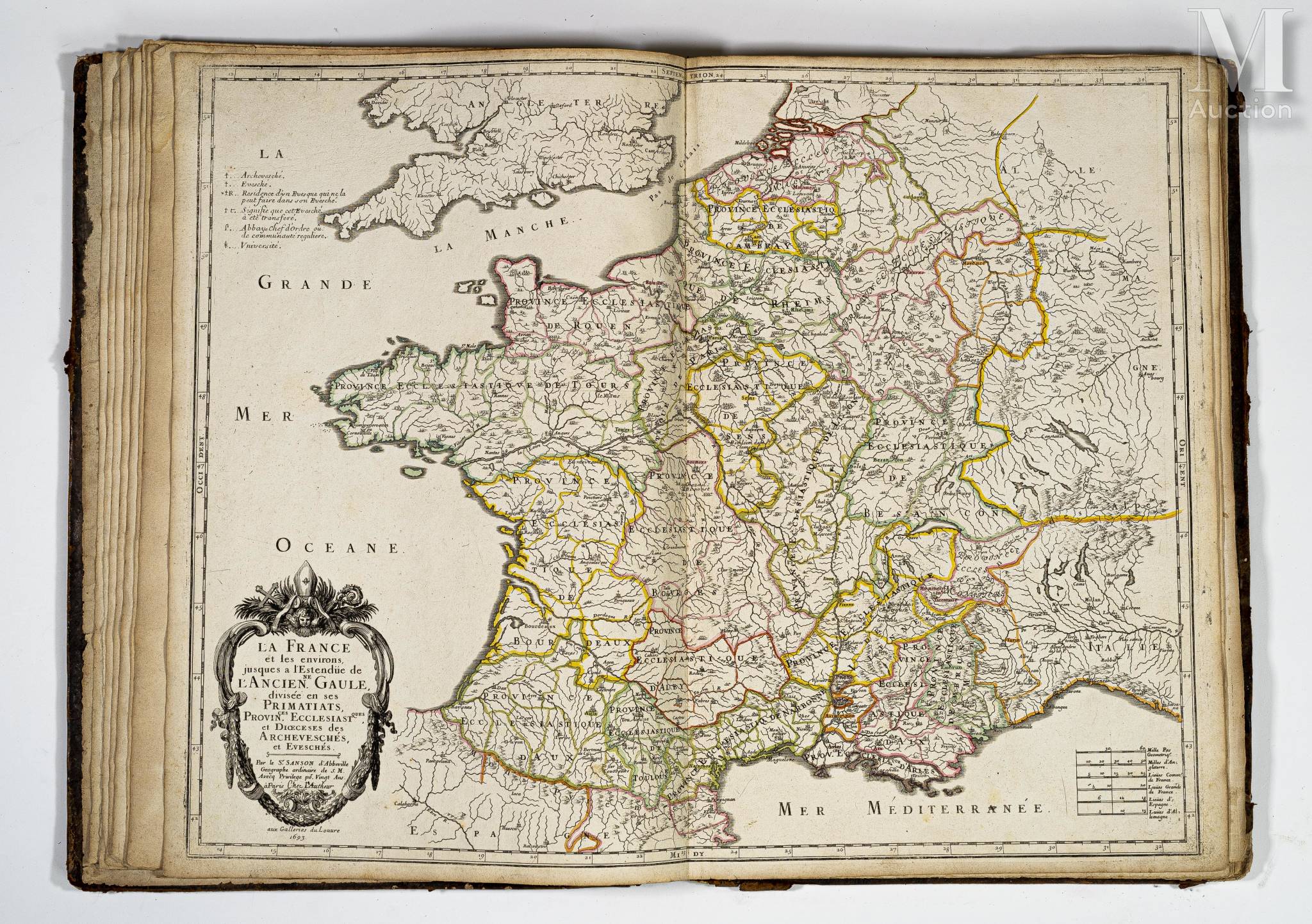
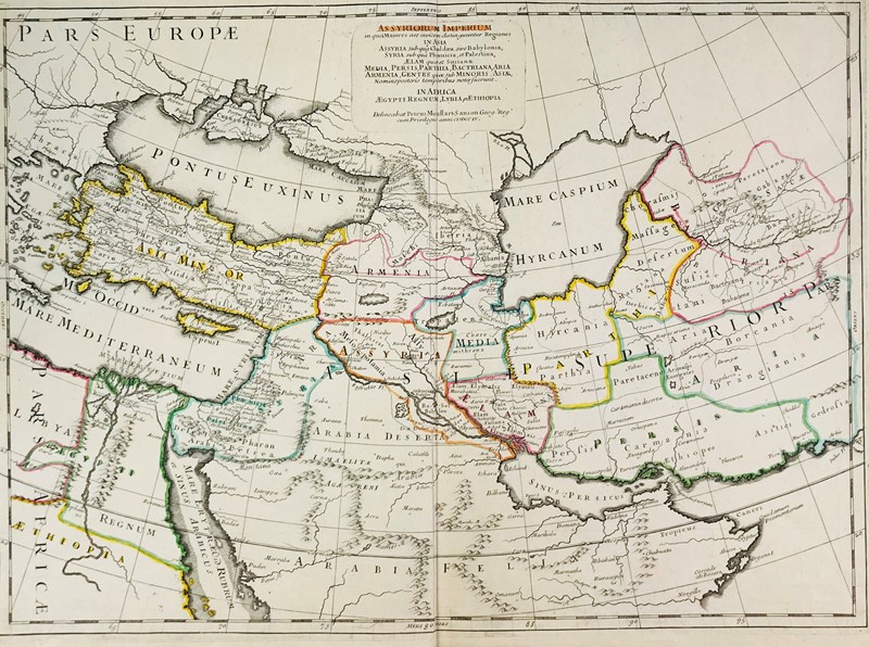
Amerique Septentrionale. Paris, Mariette, 1650. Limites en col. d'époque. Fente en bas à côté du pli central sur 8 cm, taches d'humidité en bas du pli central. - Paper slightly age toned, split along lower part centerfold 8 cm into engraved area, water staining at lower part centerfold. In original outlines colours. 390 x 553 mm. 3e état. Carte de l' Amérique Septentrionale gravée par A. Peyrounin. - Third state. Map of North America engraved by Peyrounin. The North America is one of the most desirable seventeenth century maps and certainly one of the most influential for many years. It was the first map to show all five Great Lakes, which are open-ended to the west and the first to name Lake Superior and Lake Ontario. It's information on Indians in the Southwest was the most up to date at the time, especially for the Apache tribes, many of which are indicated here for the first time. California with flat northern coast sloping up to the east. The Azores are included, Lake Ontario is shaded. - McLaughlin, California,12, State 3; Wagner 360; Burden, North America, 294, state 3
Amerique Septentrionale. Paris, Mariette, 1650. Limites en col. d'époque. Fente en bas à côté du pli central sur 8 cm, taches d'humidité en bas du pli central. - Paper slightly age toned, split along lower part centerfold 8 cm into engraved area, water staining at lower part centerfold. In original outlines colours. 390 x 553 mm. 3e état. Carte de l' Amérique Septentrionale gravée par A. Peyrounin. - Third state. Map of North America engraved by Peyrounin. The North America is one of the most desirable seventeenth century maps and certainly one of the most influential for many years. It was the first map to show all five Great Lakes, which are open-ended to the west and the first to name Lake Superior and Lake Ontario. It's information on Indians in the Southwest was the most up to date at the time, especially for the Apache tribes, many of which are indicated here for the first time. California with flat northern coast sloping up to the east. The Azores are included, Lake Ontario is shaded. - McLaughlin, California,12, State 3; Wagner 360; Burden, North America, 294, state 3


.jpg)
.jpg)


Try LotSearch and its premium features for 7 days - without any costs!
Be notified automatically about new items in upcoming auctions.
Create an alert