CHATELAIN, Henri Abraham (1684-1743). Atlas Historique . Amsterdam: Châtelain, 1713-1708-1714-1719-1720.
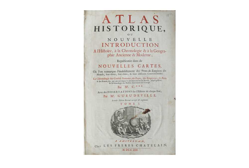
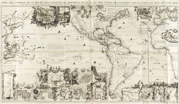
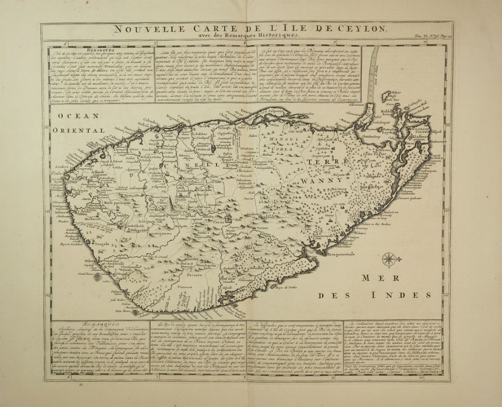
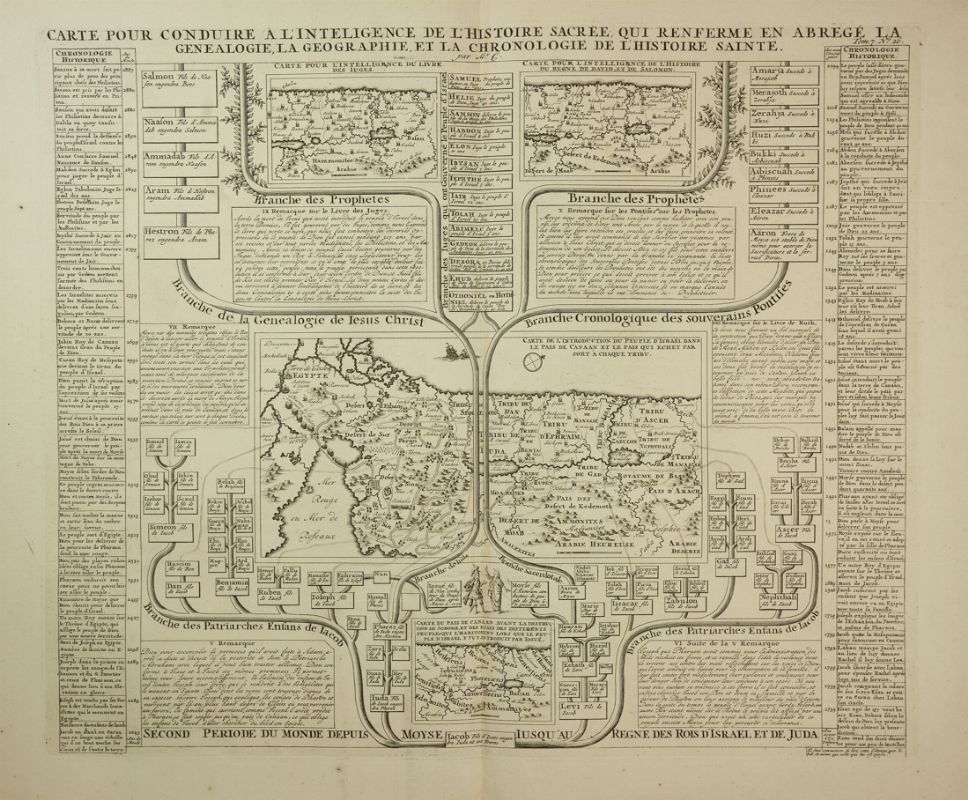
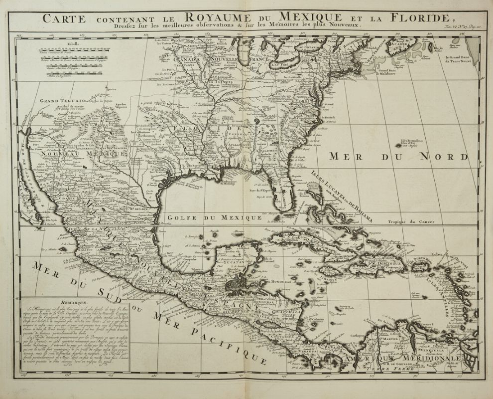
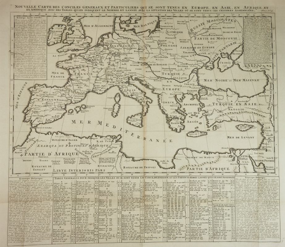
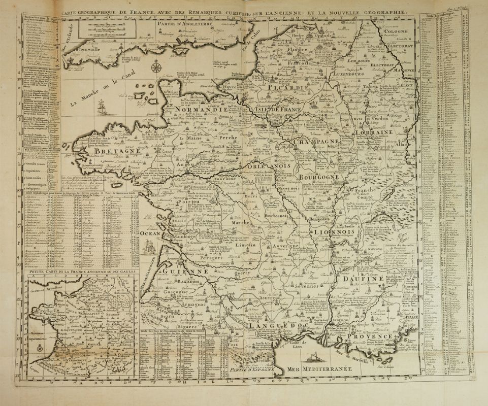
CHATELAIN, Henri Abraham (1684-1743). Atlas Historique . Amsterdam: Châtelain, 1713-1708-1714-1719-1720. 7 volumes, 2° (448 x 278mm). 5 engraved frontispieces, 7 titles printed in black and red with engraved vignettes, 285 engraved plates, many folding, including numerous maps and plans plus views, heraldic and genealogical charts. (Some occssional light browning and staining.) Contemporary calf (rebacked, old spine laid down). A COMPLETE SET OF CHATELAIN'S ATLAS HISTORIQUE . FIRST EDITION of volumes II to VII, second edition of volume I. The Atlas Historique was an ambitious work, covering a range of subjects including genealogy, cosmography, topography, heraldry and chronology. It was first published in Amsterdam in 1705-20. The text was compiled by Gueudeville and Garillon with a supplement by H.P. de Limiers and the maps by Chatelain (many based on Guillaume de l'Isle . Volume 6 includes 16 plates relating to America, including the large folding map Carte très Curieuse (see below). Plate 10 of volume 5 is bound in volume 6. Koeman, Atlantes Neerlandici II pp.34-38; Phillips, Atlases 579. [ Includes :] CHATELAIN, Henri Abraham. Carte tres curieuse de la Mer du Sud, contenant des remarques nouvelles... mais aussy sur les principaux pays de l'Amerique... avec les noms & la route des voyageurs par qui la decouverte en a été faite . Amsterdam: 1719. Large engraved map of the Pacific and Americas on four joined sheets, the whole measuring 840 x 1400mm. Title set above upper margin, each pair of sheets with graticuled border, the oceans marked with the tracks of the great Portugese and Dutch navigators, Le Maire and Schouten, Magellan, Olivier van Noort and L'Hermite, lower and upper margins decorated with inset vignettes, plans of harbors and cities, portraits and explanatory texts. (Tear to fold at center.) A FINE EXAMPLE OF CHATELAIN'S EXTRAORDINARY MAP of the Pacific and Americas, published in his Atlas Historique of 1719. The lavish decoration, extensive texts and high quality engraving, together with the encyclopaedic texts, create an impressive image of the Pacific Ocean. 'ONE OF THE MOST ELABORATELY ENGRAVED MAPS OF THE WESTERN HEMISPHERE EVER PRODUCED' (Schwartz & Ehrenberg, p.142). Tooley America p. 80; Mc Laughlin 190.
.jpg)



.jpg?w=400)
.jpg?w=400)

Try LotSearch and its premium features for 7 days - without any costs!
Be notified automatically about new items in upcoming auctions.
Create an alert