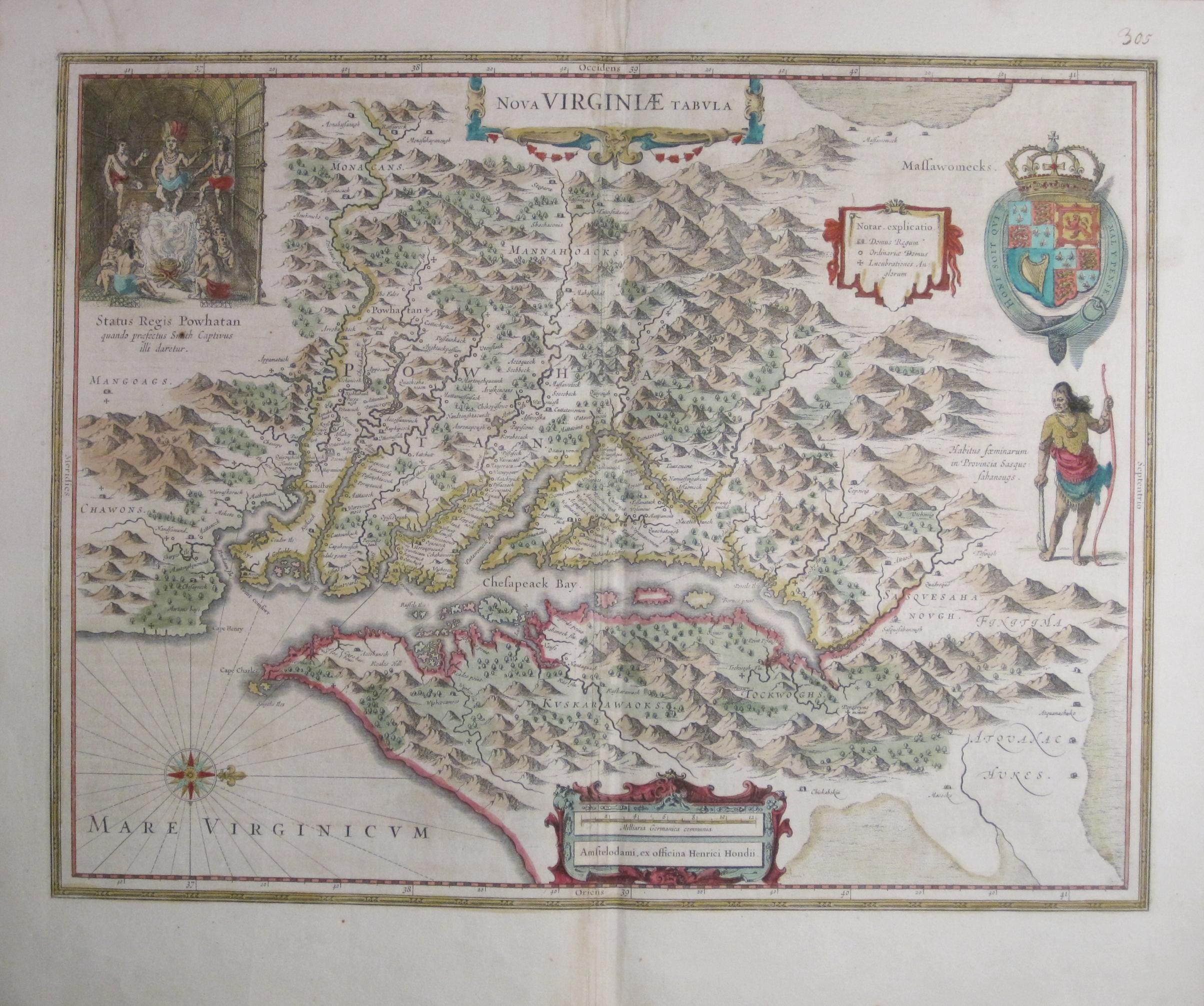
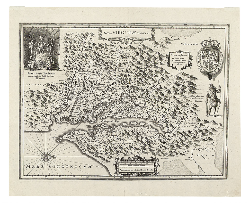
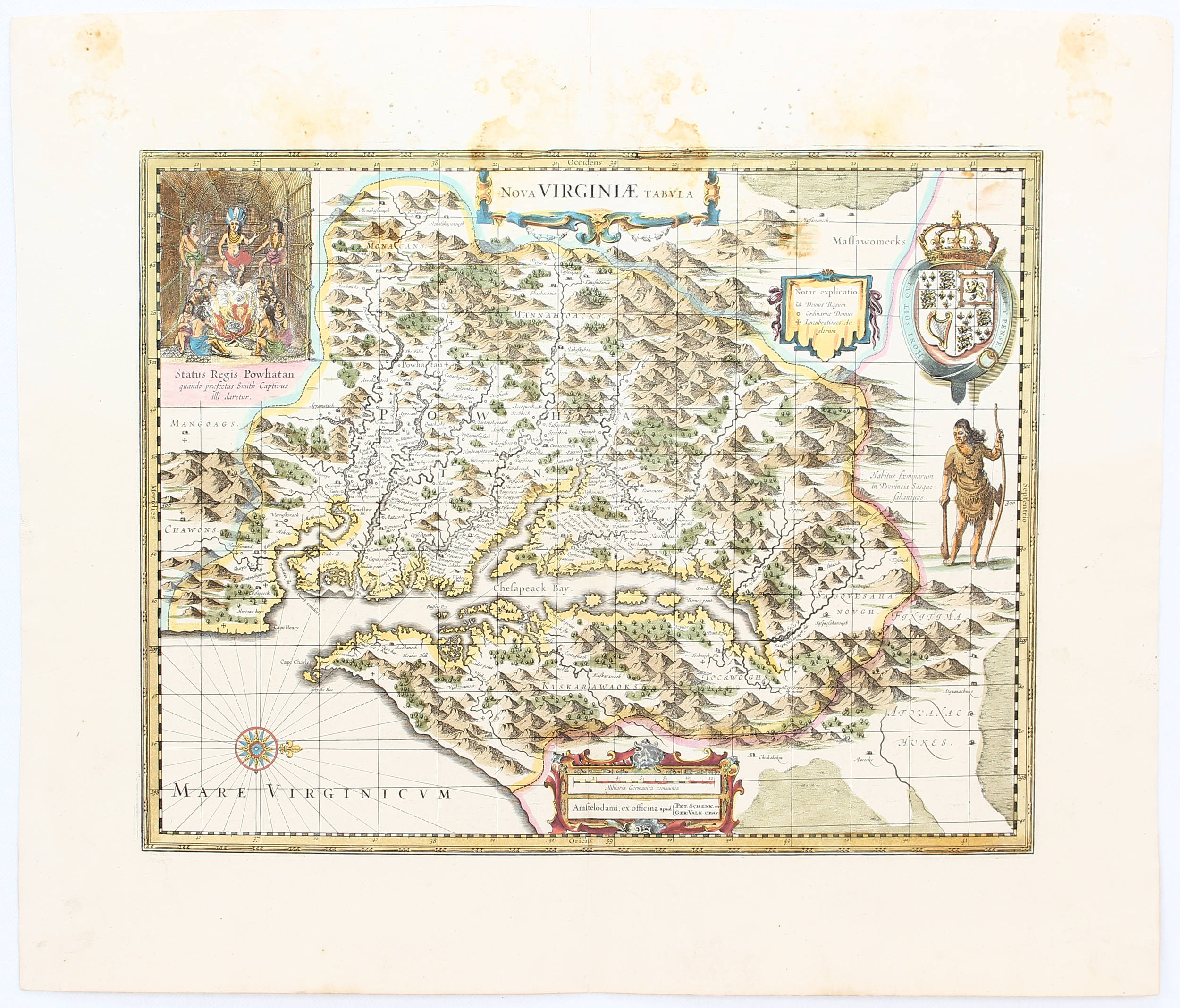
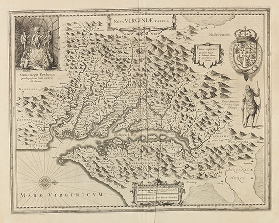
VIRGINIA]. HONDIUS, Henricus. Nova Virginiae Tabula. [Amsterdam: Mercator, 1633].
VIRGINIA]. HONDIUS, Henricus. Nova Virginiae Tabula. [Amsterdam: Mercator, 1633]. Engraved map, partially hand-colored, 379 x 485 mm platemark (462 x 561 mm). French text on verso. (Some minor browning and toning.) "THE FIRST AND MOST IMPORTANT DERIVATIVE OF JOHN SMITH'S MAP OF VIRGINIA ORIGINALLY PUBLISHED IN 1612" (Burden) This is derivative 5, state 1, bearing the imprint of Henricus Hondius. Originally issued by Jodocus Hondius from 1618-1629, the map closely follows State 1 of Smith's Virginia of 1612, without longitude and the various names added in Smith's later states. Upon Hondius's death in 1629, Blaeu purchased the plates and the imprint was thereafter changed to reflect the new ownership. Blaeu used the map first in his Atlantic Appendix (1630) and afterwards in virtually every edition of his atlas. This example was issued with Mercator's L'Appendice de l'Atlas , Amsterdam, 1633. "Through the purchase of this plate by William Jansz. Blaeu in 1629 and its subsequent extensive publication for forty-two years, word of the English in Virginia became known throughout Europe. It is slightly larger than its parent, although more attractively engraved. Taken from the first state of Smith, it continues the coastlines where the former left them vague" (Burden 193). Koeman I:71-5; Coolie Verner in Tooley, The Mapping of America , chapter 4, p.166.


Try LotSearch and its premium features for 7 days - without any costs!
Be notified automatically about new items in upcoming auctions.
Create an alert