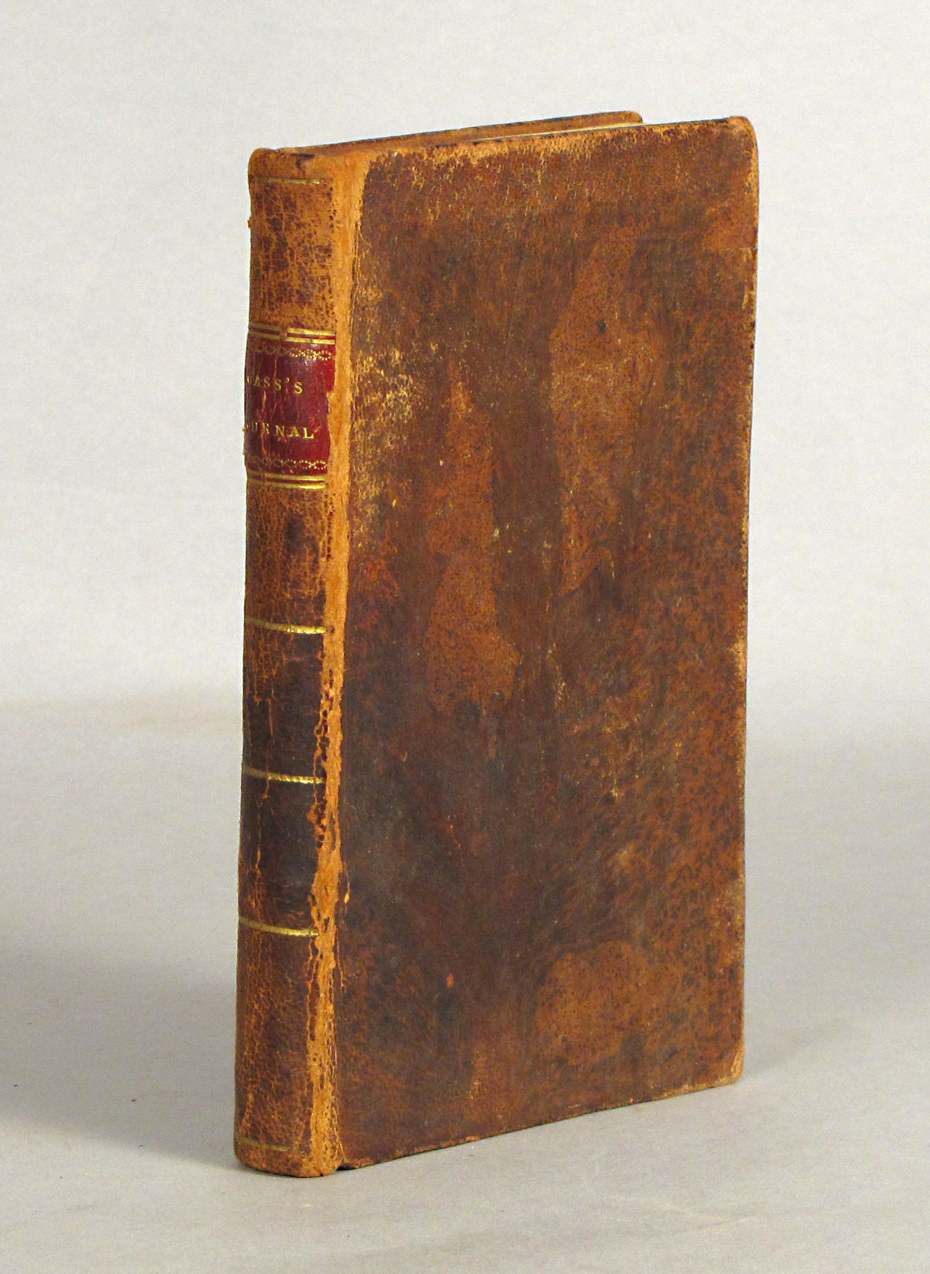
CAREY, Matthew. Carey's General Atlas, Improved and Englarged. Philadelphia: M. Carey, 1814. 2 o (440 x 295 mm). 58 engraved maps, including 51 double-page, all colored in outline (perforated library stamp on title, small stamp on first leaf, light browning and staining to some plates). Contemporary sheep backed boards (very worn). Provenance : J.W. Reigart, Philadelphia January 3, 1814 (ownership inscription on title). Later edition. This copy includes 26 regional maps of North America by Samuel Lewis Amos Doolittle Harding Harris, and others. New North American maps to this edition are: map 23 Mississippi Territory ; 24 The State of Ohio with part of upper Canada ; 25 The upper Territories of the United States ; 26 Louisina ; and 27 Missouri territory. In his "Prefatory Remarks" Carey notes that "it is proper to state" that the maps listed above and "the maps of North America - of the British settlements - of the United States - of the District of Maine - of Massachuetts - of Pennsylvania - of Maryland - of Virginia - of North Carolina - of Georgia - of Kentucky - of Tennessee... are all new - the American ones drafted by Mr. Samuel Lewis - the others taken from recent European publications. The residue have been retouched, and where necessary, corrected." Phillips 722.
CAREY, Matthew. Carey's General Atlas, Improved and Englarged. Philadelphia: M. Carey, 1814. 2 o (440 x 295 mm). 58 engraved maps, including 51 double-page, all colored in outline (perforated library stamp on title, small stamp on first leaf, light browning and staining to some plates). Contemporary sheep backed boards (very worn). Provenance : J.W. Reigart, Philadelphia January 3, 1814 (ownership inscription on title). Later edition. This copy includes 26 regional maps of North America by Samuel Lewis Amos Doolittle Harding Harris, and others. New North American maps to this edition are: map 23 Mississippi Territory ; 24 The State of Ohio with part of upper Canada ; 25 The upper Territories of the United States ; 26 Louisina ; and 27 Missouri territory. In his "Prefatory Remarks" Carey notes that "it is proper to state" that the maps listed above and "the maps of North America - of the British settlements - of the United States - of the District of Maine - of Massachuetts - of Pennsylvania - of Maryland - of Virginia - of North Carolina - of Georgia - of Kentucky - of Tennessee... are all new - the American ones drafted by Mr. Samuel Lewis - the others taken from recent European publications. The residue have been retouched, and where necessary, corrected." Phillips 722.


.jpg)


Try LotSearch and its premium features for 7 days - without any costs!
Be notified automatically about new items in upcoming auctions.
Create an alert